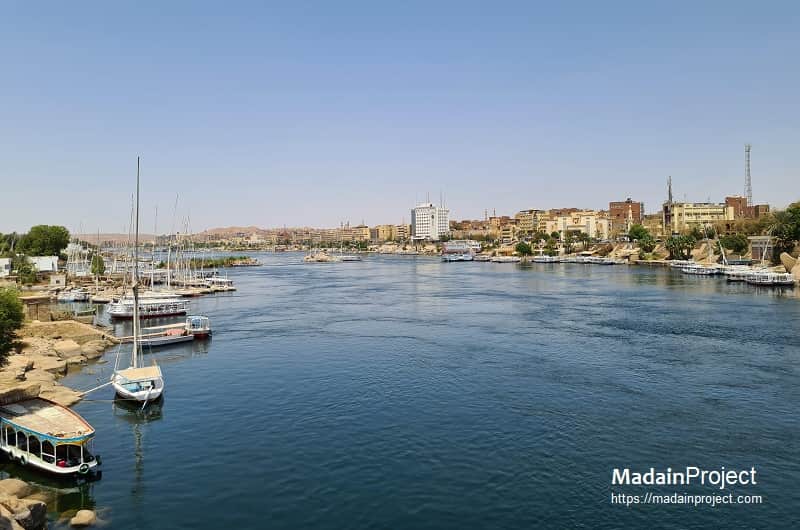
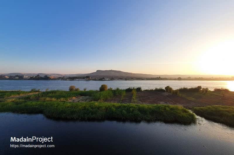
The Nile is the longest river in the world, extending for approximately 6,650 kilometers from its headwaters in the equatorial Great Lakes and Ethiopian highlands to its delta on the Mediterranean Sea. It has historically served as a critical axis of human settlement, agriculture, and communication in northeastern Africa, sustaining major civilizations, most prominently ancient Egypt and Nubia.
The Nile traverses eleven modern states, though its historical significance is concentrated in Egypt and Sudan. Its waters enabled the formation of dense agricultural societies in an otherwise arid environment, while its predictable cycles of inundation shaped economic, social, and religious systems. Archaeological remains along its banks, from prehistoric rock art to monumental temple complexes, attest to the enduring role of the river as both a material resource and a cultural symbol.
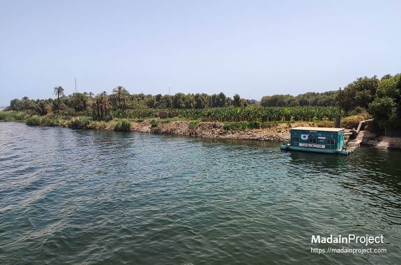
Historically, Nile water was excellent for irrigation because the annual flood deposited nutrient-rich silt that renewed soil fertility. This is what allowed Egypt and Nubia to sustain intensive agriculture in otherwise desert zones. In the modern period, after the Aswan High Dam ended the natural flood cycle, the Nile still provides abundant water for irrigation, but the lack of annual silt deposition means farmers depend more on artificial fertilizers to maintain soil productivity.
circa
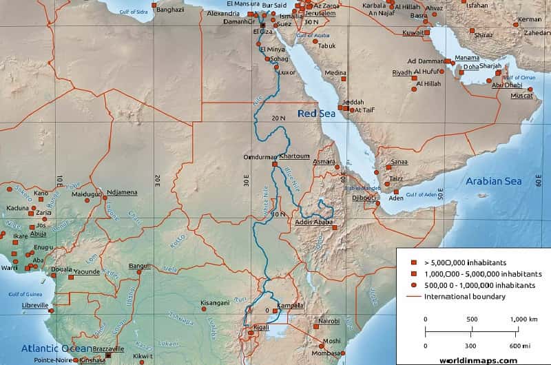
The Nile consists of two principal tributaries: the White Nile, originating in the Great Lakes region of East Africa, and the Blue Nile, arising in the Ethiopian highlands. They converge at Khartoum in Sudan, after which the river flows north through the deserts of Sudan and Egypt before dividing into distributaries in the delta. The river is punctuated by six cataracts between Aswan and Khartoum, natural features that historically influenced patterns of navigation, defense, and cultural interaction. The annual flooding deposited rich silt along the floodplain, creating a narrow but highly productive agricultural corridor bordered by desert on either side.
circa
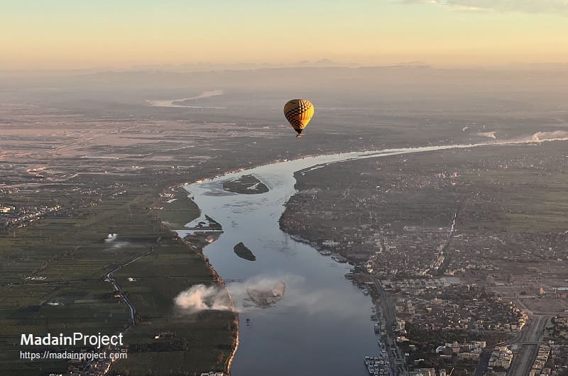
Hydrologically, the Nile is sustained by distinct regimes. The White Nile provides a relatively steady base flow derived from equatorial rainfall and lake storage, while the Blue Nile contributes the majority of floodwaters, driven by seasonal monsoons in the Ethiopian highlands. The Atbara River, another Ethiopian tributary, delivers additional flow during the rainy season. This combination produced the annual summer inundation that defined the agricultural cycle in antiquity. Modern damming and irrigation projects have regulated the river, ending the natural flood cycle but enabling year-round cultivation and hydroelectric production, at the cost of altering sediment deposition and traditional ecological patterns.
circa

Prehistoric Settlement
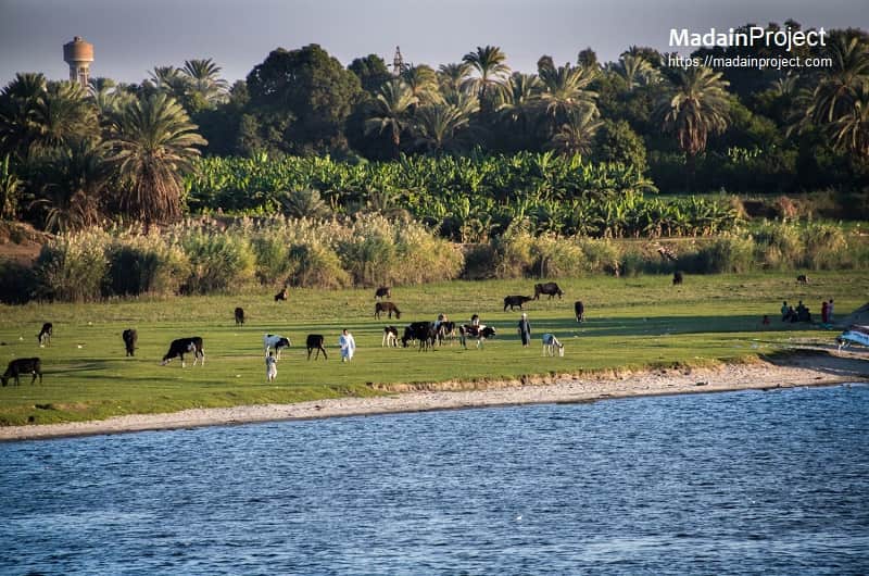
Archaeological evidence indicates that human communities occupied the Nile Valley from the Lower Paleolithic onwards. Rock art in ancient Nubia and Upper Egypt, dated to the Epipaleolithic and early Holocene, records hunting, pastoral, and aquatic lifeways. During the Neolithic period, the gradual desiccation of the Sahara concentrated populations along the river, where domestic agriculture and animal husbandry took root. Early village sites and burial grounds show the transition from mobile groups to more complex agrarian communities, laying the groundwork for later state formation.
circa
Ancient Egypt
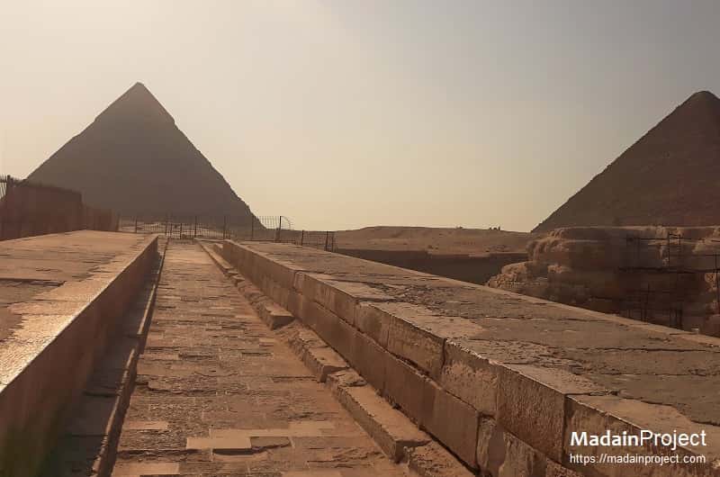
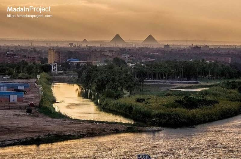
The rise of ancient Egyptian civilization was inseparably linked to the Nile’s environmental regime. The annual inundation, occurring between July and September, provided reliable agricultural surplus, enabling urbanization and centralized political structures from the Predynastic period onwards. The river functioned as a primary transport artery, facilitating movement of building materials and goods, while also shaping religious conceptions. Deities such as Hapi personified the inundation, and the Nile itself was embedded in cosmological narratives of fertility and renewal. Archaeological remains—settlements, irrigation works, temples, and tombs—demonstrate the centrality of the river to the state’s economy, ideology, and monumental building programs.
circa

Nubia and the Middle Nile
South of Egypt, the Middle Nile supported complex societies that interacted with, and at times rivaled, their northern neighbor. The kingdom of Kerma, flourishing circa 2500–1500 BCE, emerged as a major power in Nubia, while later Napata and Meroe, capitals of the Kushite kingdom, dominated regional trade and political life. Archaeological remains include fortified towns, cemeteries, and distinctive pyramidal tombs. Control of river corridors and cataract zones was a central factor in the shifting balance of power between Egypt and Nubia, with the Nile serving both as a conduit for exchange and as a contested frontier.
circa

The construction of the Aswan High Dam in the 1960s transformed the Nile Valley, halting the natural flood regime and creating Lake Nasser. This prompted one of the largest international archaeological salvage efforts, coordinated by UNESCO, to relocate or document monuments and sites threatened by inundation. The Nubian Monuments Campaign resulted in the preservation of major temples, including Abu Simbel and Philae, while also stimulating systematic surveys in both Egypt and Sudan. Today, archaeological work continues to explore settlement patterns, paleoenvironmental change, and the longue durée of human adaptation to the Nile landscape. Preservation challenges remain acute, with threats posed by dam construction, urban expansion, and climate change.
Signup for our monthly newsletter / online magazine.
No spam, we promise.
The Madain Project is an online archive of Abrahamic History and Archaeology.
Abrahamic History & Archaeology is the study of history and archaeology with respect to the three Abrahamic Faiths without considering the religious and theological aspects. The goal of Abrahamic History is to understand how and why the religious doctrines and behaviours have evlovled and changed over time. Searching for patterns in the evolution of significant cultural events such as the development of farming, the emergence of cities, or the collapse of major civilizations for clues of why and how these have influenced the three major Abrahamic religions.
Cloud Drive -
About -
Help -
Editorial Policy -
AI Policy -
Privacy Policy -
Contact
Madain Project: Encyclopedia of Abrahamic History & Archaeology.
Copyright MadainProject 2017 - 2026.
![]()
![]()
![]()
![]()
![]()
![]()